Algonquin Park: Camping Trip Logs: 011 - Meanest Link Part One
Trip Log: July 9 - July 24, 2011 Meanest Link Part One.
Day 3 |
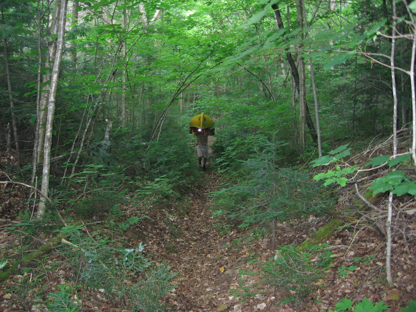
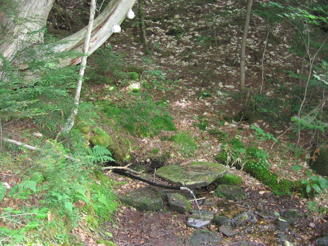
July 12, 2011 - below Distress Dam to road past McCraney Creek I believe it was oatmeal and bacon for breakfast, quickly prepared and eaten after the Coffee Refrain. In short order things were packed away and we began the portage (650m) to Distress Lake. This portage is a nice walk in the woods with a few hills that aren’t too much trouble. Along the way, closer to the lake side there is a side path that will take you to a spring. The spring is at the bottom of a hill and includes a pipe and two handy mugs for quenching your thirst. A few of us filled up our bottles with this delicious, cold water. There are quite a few pathways crisscrossing the portage so you do need to keep your wits about you.
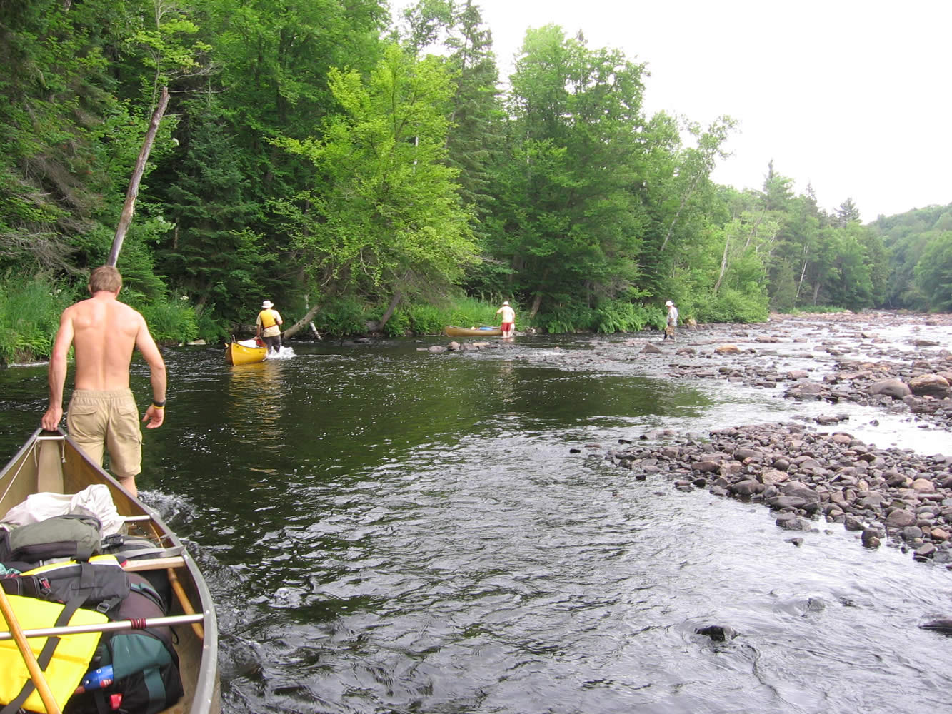
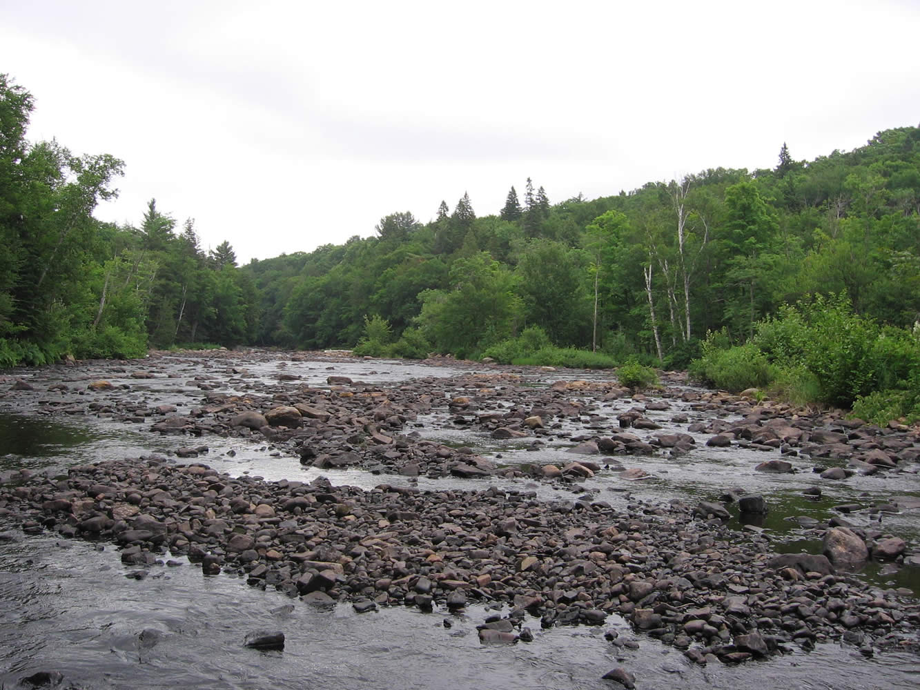
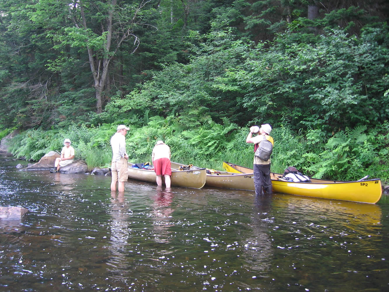
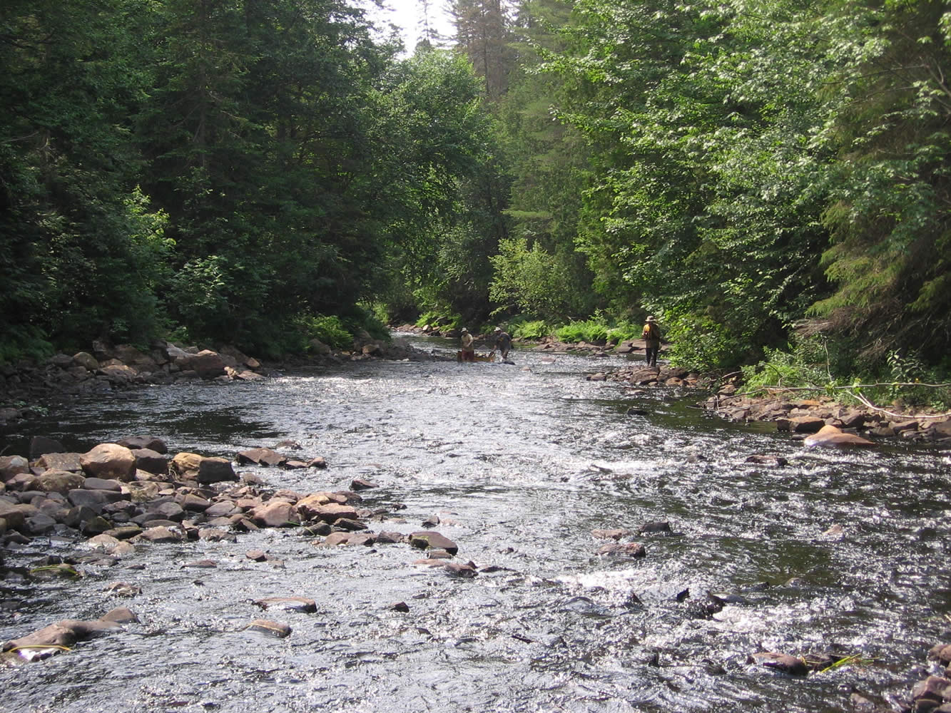
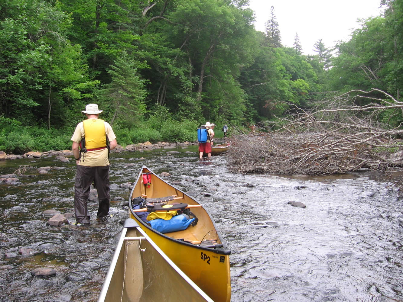
Not to get too repetitive but the rest of the day was more wading, paddling when there was enough water, rapids, sunshine beating down, walking knee deep through rocky sections. At some points we not only had to get out and walk, but also put our packs on and pull the empty canoes. You get the general idea, it was a long, hot day.
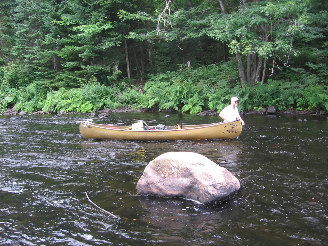
It was decided to push on to where we knew there was an old road that crossed both the Big East River and McCraney Creek and then on to Hood Lake. We thought this the wiser choice than wading up a real bony McCraney Creek. This decision was helped by the fact that McCraney Creek felt about 20 degrees cooler than the river. Unfortunately the Big East wasn’t much better and there were logs and a beaver dam to contend with as well as getting even shallower. It was along this stretch that I did end up “turtling”, walking along and back I went. Luckily (unluckily?) there were more rocks than water at this point and I landed pack first on a rock, nothing even got wet really.
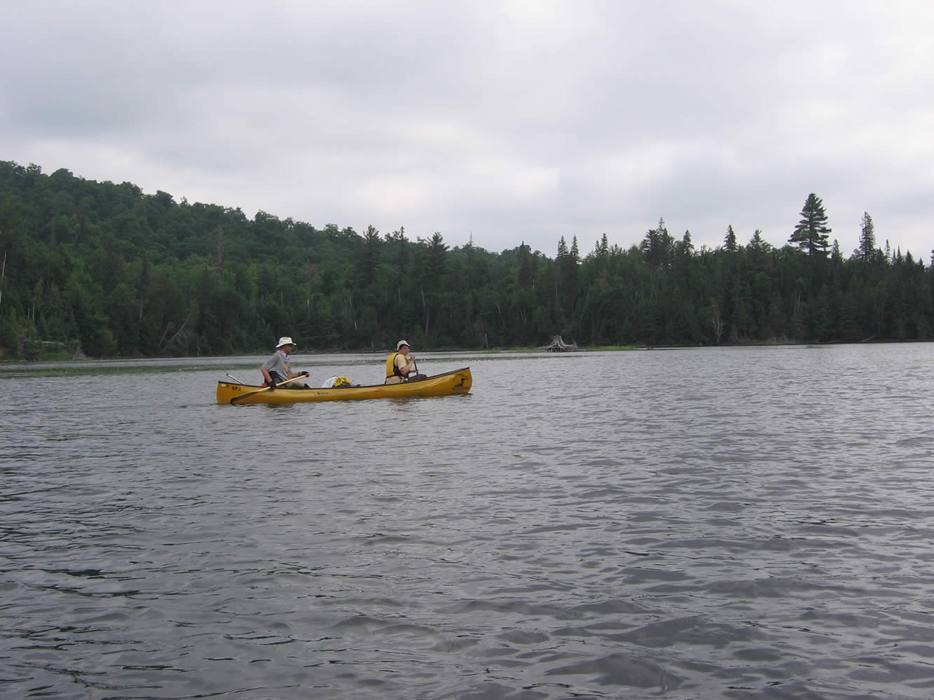
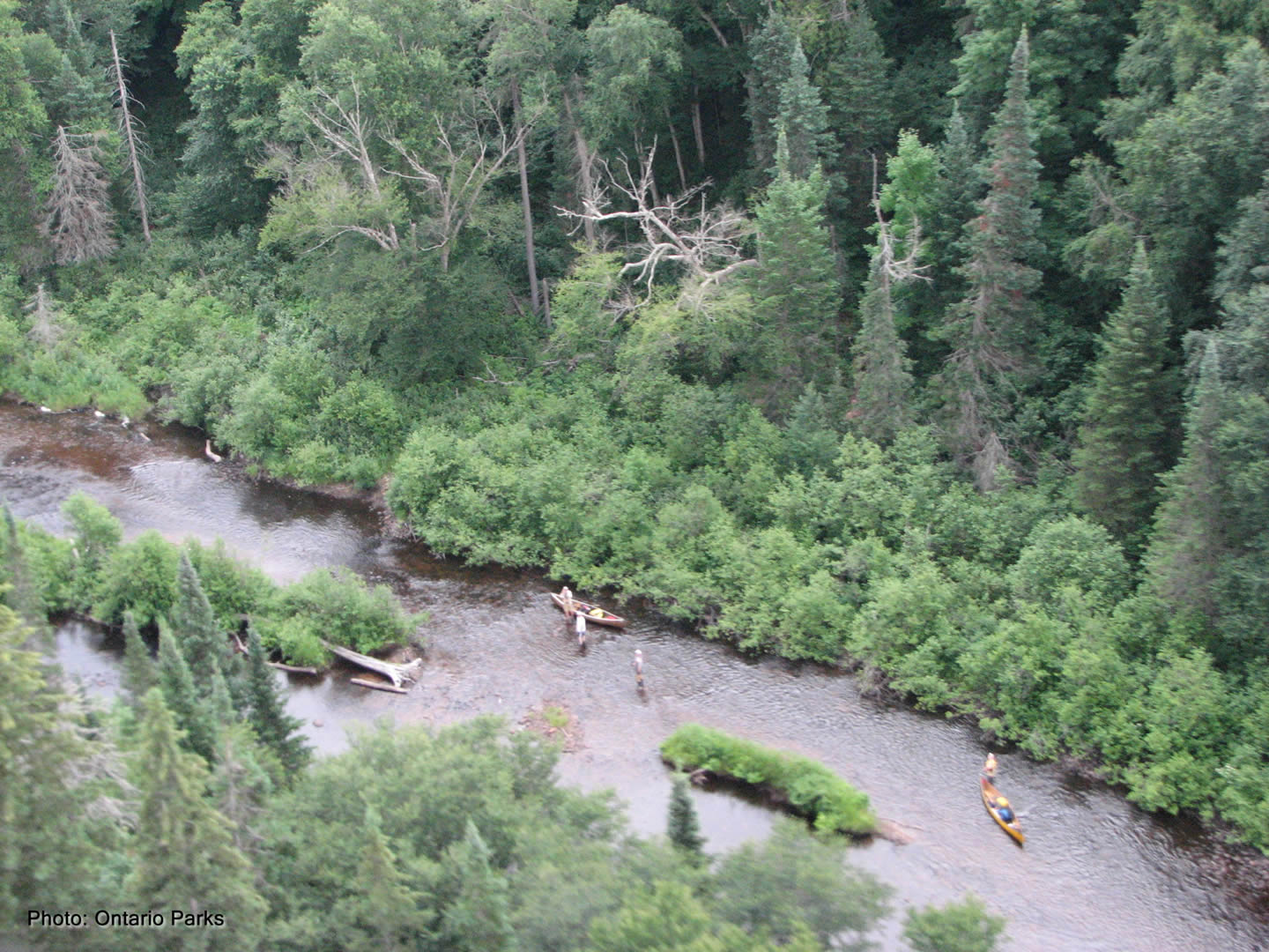
We were on an overgrown road just wide enough to mill about and for the Scarlett’s to put up their tent. The four of us in hammocks ended up grouped fairly close together in the best spots we could find back in the trees. It began raining as we were setting up and darkness wasn’t that far off. The decision was made to skip a big meal for dinner and just eat some snacks and leftovers from previous meals. Too bad for the guys, I had an excellent meal planned and they were going to miss out (actually it was freeze-dried Beef Stroganoff). After a quick bite and with a bit of rain off and on we once again hit the hay pretty early, people reading or recording the day in their sleeping bags to avoid the mosquitoes. Today was just a big long slog, walking for long stretches up the river. At one point, I think while we were along Finlayson Rapids, we had a yellow float plane flying overhead. We thought that it was perhaps the Park plane as it had a canoe strapped on the floats. Perhaps someone was checking up on our progress as quite a few people were interested in our trip. After our return we found out that it was Jim Murphy, Park Planner, and that he had taken a great aerial shot of us along the river.
|
Algonquin Park: Camping Trip Logs: 011 - Meanest Link Part One
Trip Log 011
Access:
Algonquin Outfitters
Huntsville Store![]()
Overview:
A grueling 280 km trip that starts outside of Algonquin Park in Huntsville, travels up to the northern border at Cedar Lake before returning down the center to Lake Opeongo.
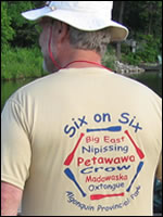
Six on Six, is the name we gave to our expedition as there were six guys traveling on six of the rivers in Algonquin.
As an added bonus, we re-established a portage between Hood Lake and McCraney Lake. This involved bushwhacking 1.4 km over a hill with packs and canoes. It's not likely many people will use this portage but I hope it gets maintained in some manner after our hard work.
history of the
Meanest Link