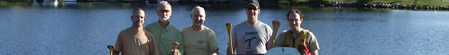
|
September 6, 2012 - West Harry Lake to Hood Lake
We were up and at it by 6:30, eager to see what the day would bring us. Coffee and breakfast were quickly done and we packed up amongst the wet trees and grass. Fortunately the day was promising to be another sunny one. Once loaded up with oatmeal and blueberries we shouldered our packs and set off on the portage for the third and last time at 9 AM.
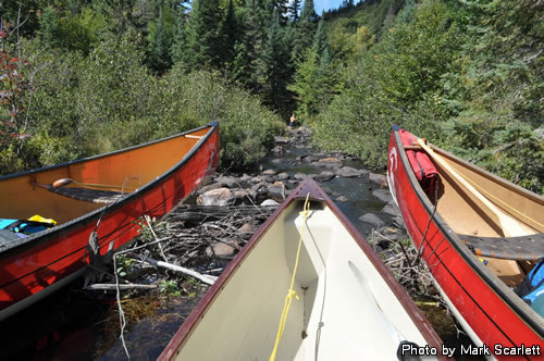
In less than half an hour we reached our waiting canoes, threw in the packs and were off to see what the Big East River had in store for us.
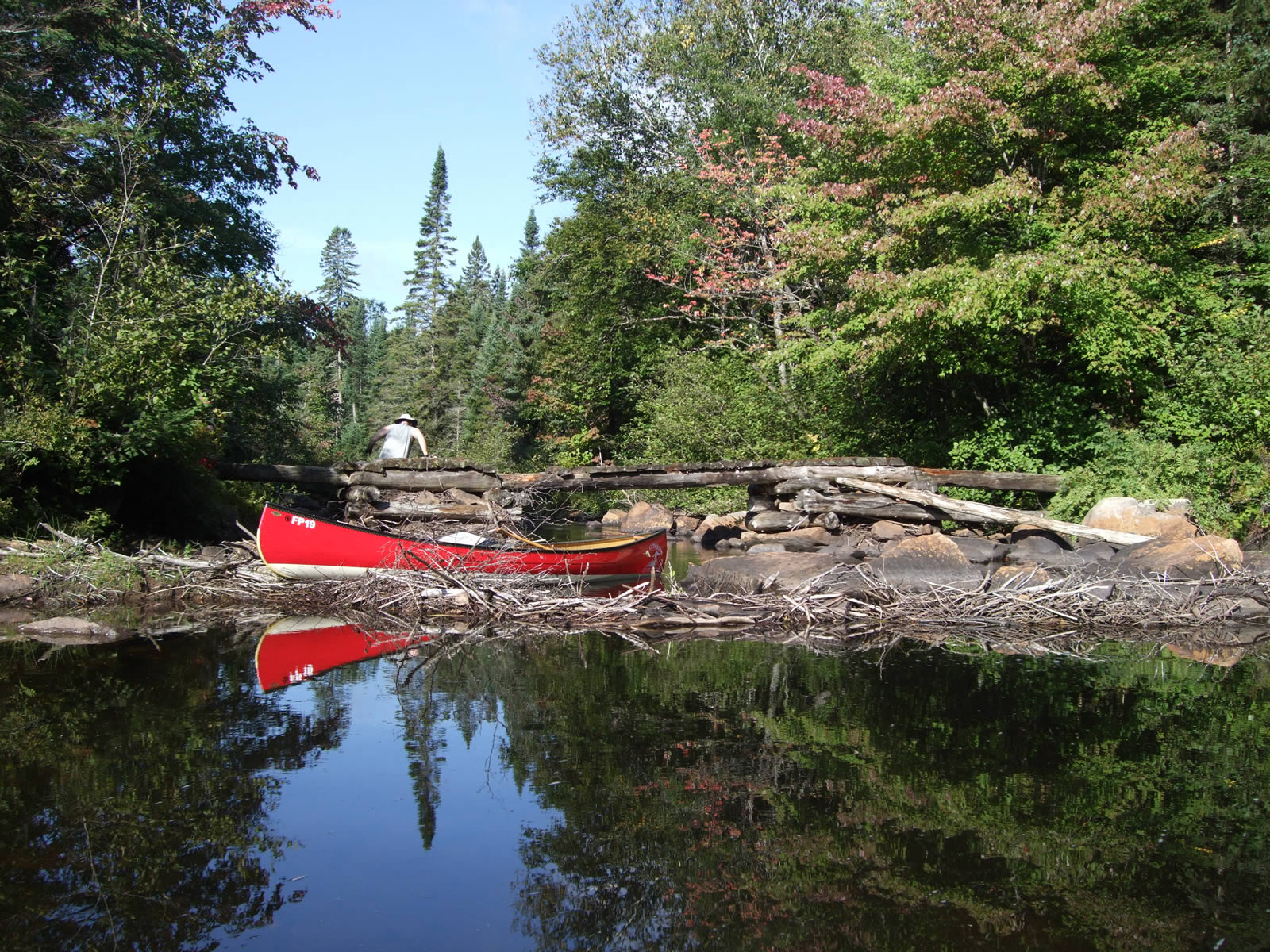
Amazingly we had lots of water and made excellent time for a bit, reaching the bridge where the Western Highlands Backpacking Trail crosses. The bridge was in a pretty sad state and was wiped out in the next spring runoff.

Markus jumps the decrepit hiking trail bridge.
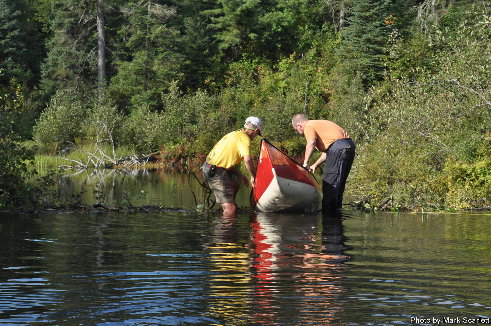
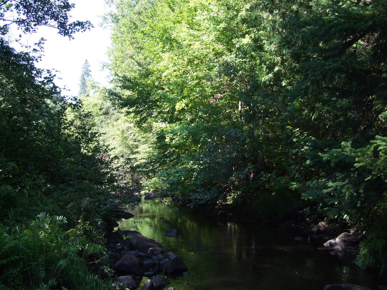
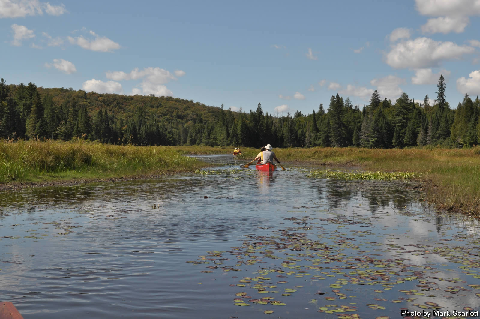
We pressed on making decent time in good water conditions, reaching White Cat Lake without difficulty. We came across numerous beaver dams which helped with providing us enough water to paddle. The river and area had a feeling of remoteness to it, definitely an area that would not get a lot of traffic.
Moon on Whitecat Lake.
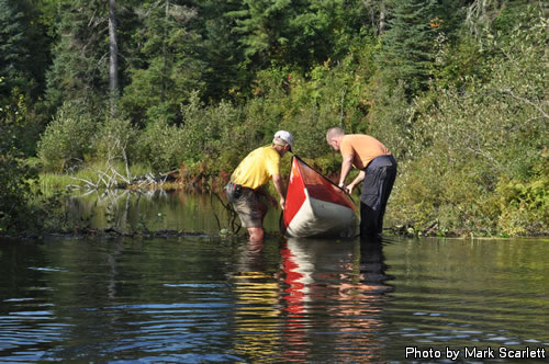
John and I navigate a beaver dam.
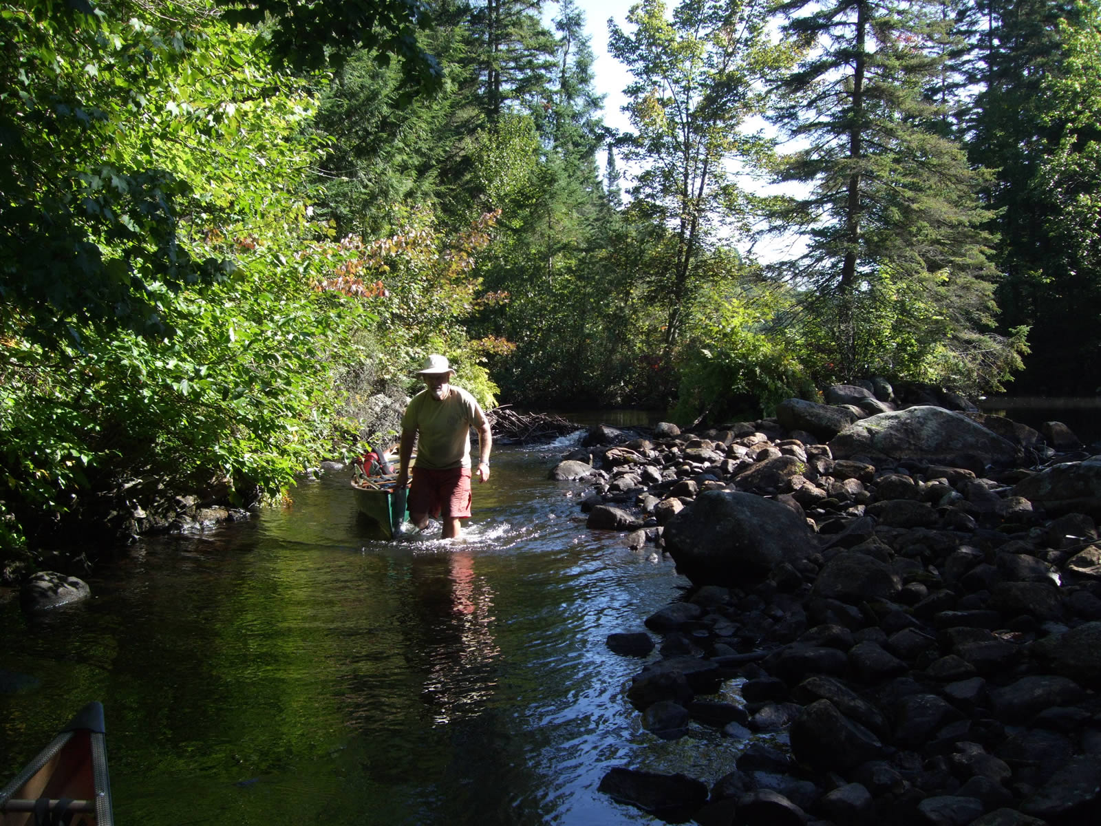
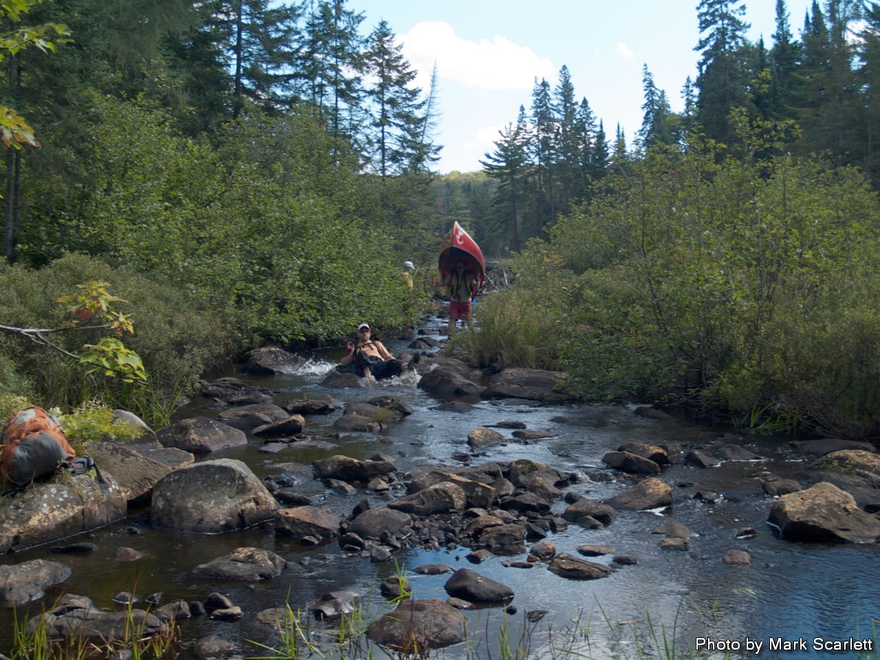
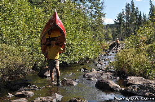
Then our luck began to change. First the river became a little more rocky, and a little more shallow, until we were back to walking the Big East. Earlier we had the beaver dams helping us with water levels, now even they were of no help.
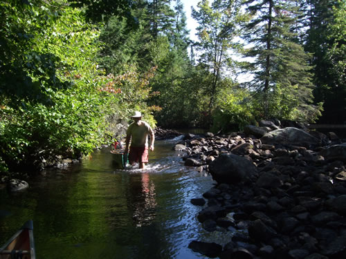
MarkS back walking in the river.
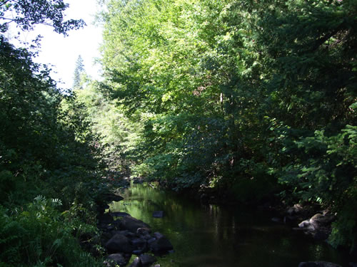
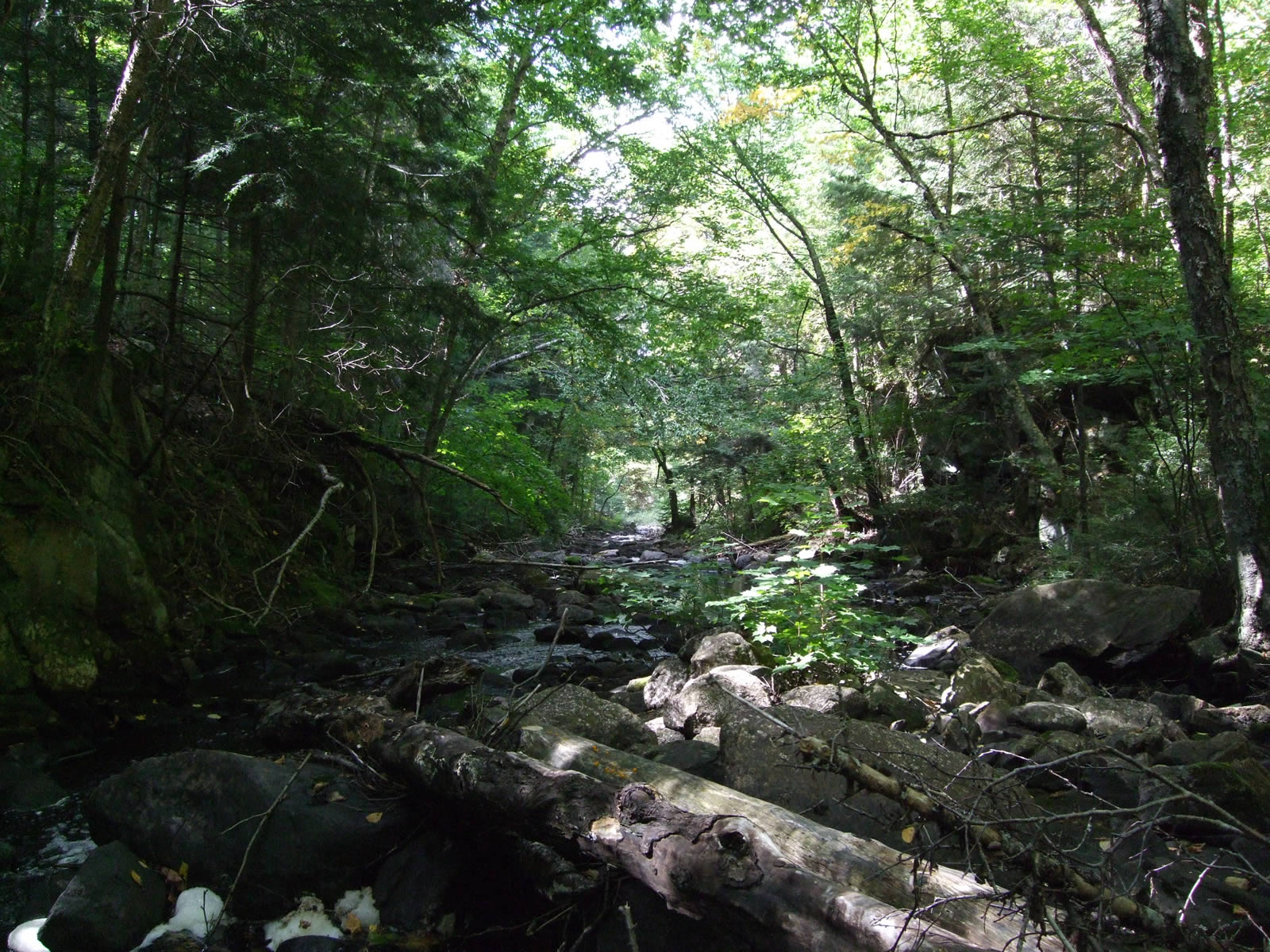
Narrow section of the Big East River.
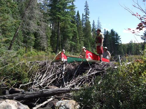
Surveying from the beaver dam.
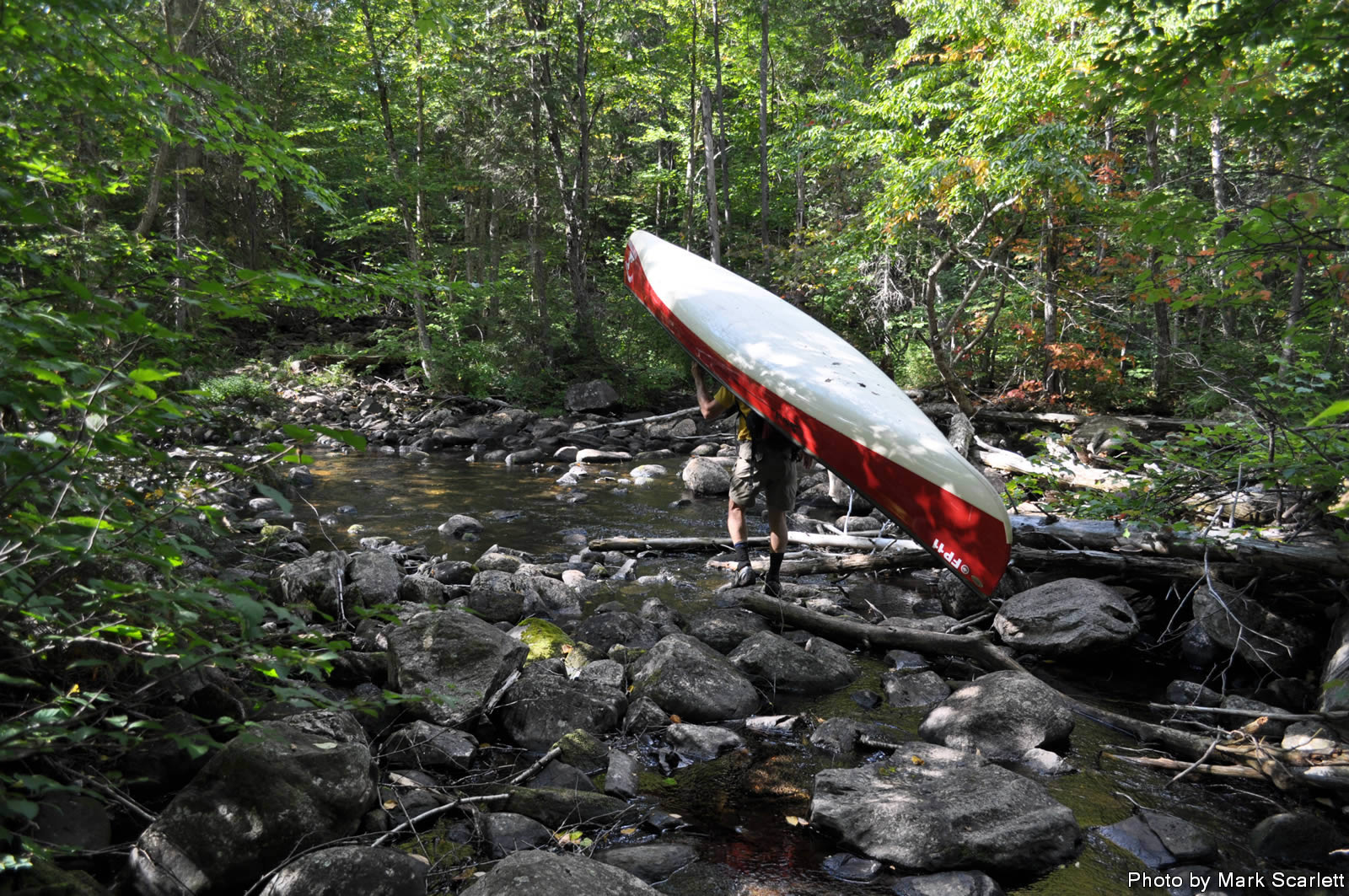
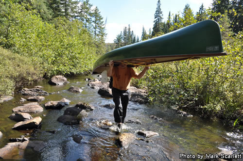
Carrying over the obstacles.
Eventually, as we feared would happen, we ran out of navigable water. We had no choice but to abandon the river and bushwhack our way to an old logging road on the north shore. Unfortunately this is about when my camera batteries started to fade. Knowing I didn’t have many shots left I decided only the most important things would deserve getting photographed. (I’ll be using photos from Mark Scarlett for the rest of this trip log.)
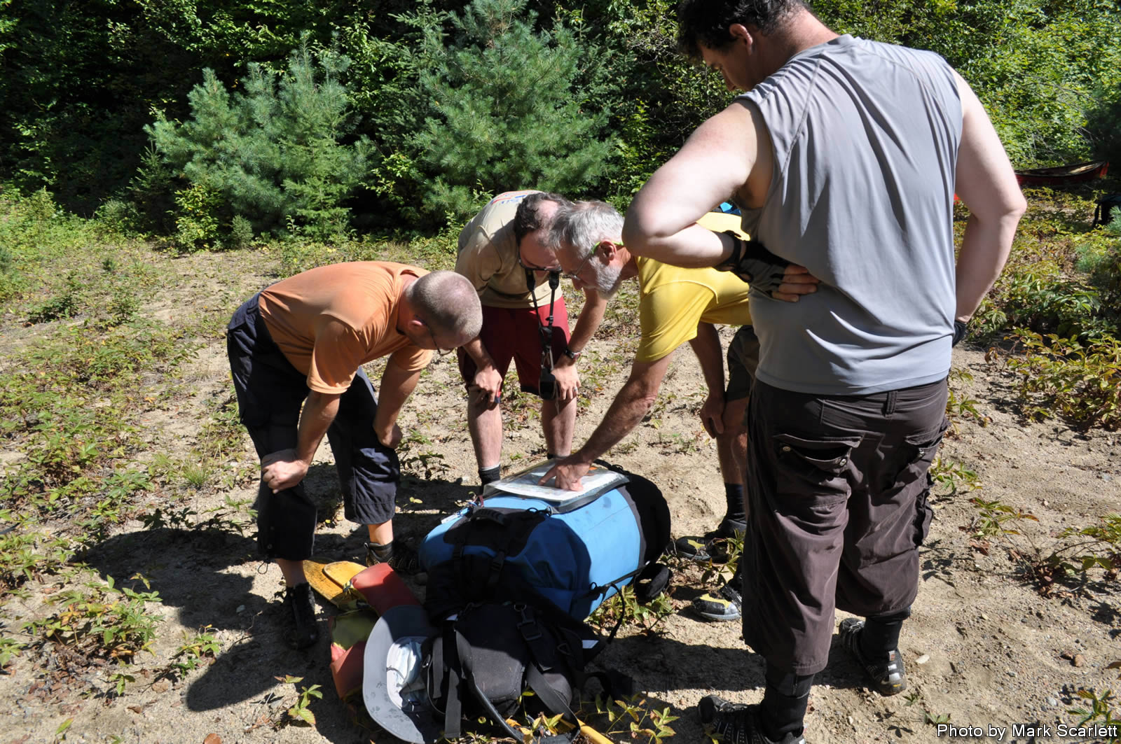
The logging road was in a little better shape than the first one, not quite as badly overgrown. We had a quick snack on the trail but kept slogging along. After hiking along a while we reached a more open area with some intersecting roads, after a brief discussion and a scouting mission it was decided to cross the river and head south on the logging road with the hope of reaching Marion Lake. Once there we hoped we could paddle again for a bit, heading northwards back to the Big East River on Mink Creek. A minor detour is what we called it.
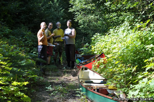
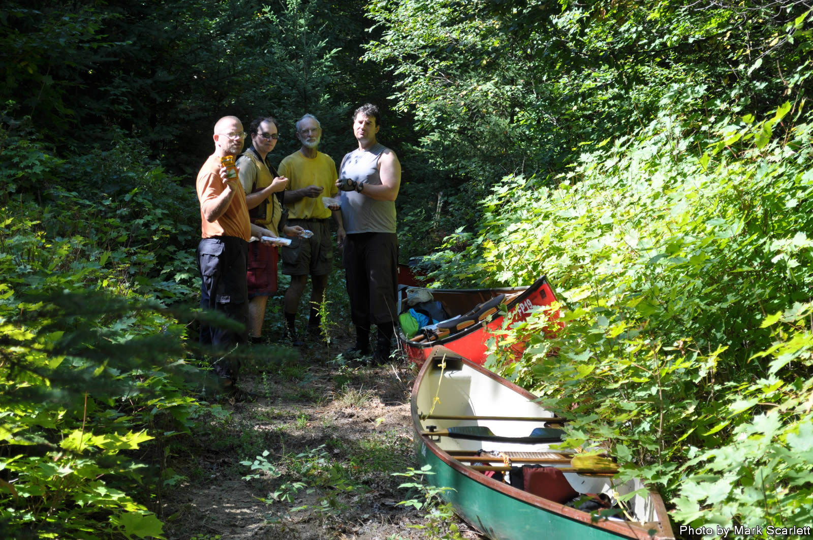
Snack show and tell on the trail.
Wilderness conferance call.
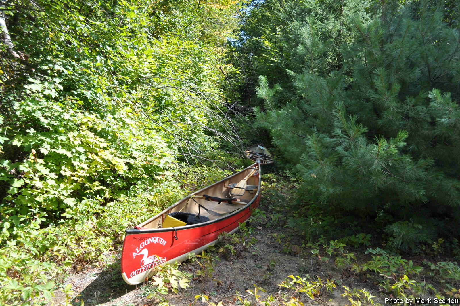
Not where you'd expect to see a canoe.
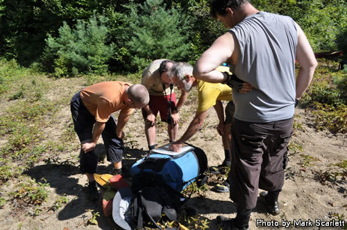
We portaged along a road that was in good shape and showed evidence of ATV/snow mobile use. When we found water to paddle at Marion Lake we took a lunch break. The effort of bushwhack portaging and the heat of the day weren’t enough to crush our spirits.
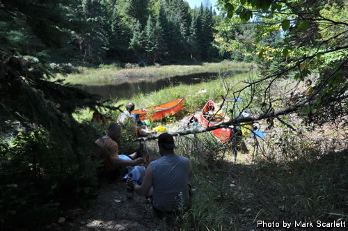
Lunch by the shore of Marion Lake.
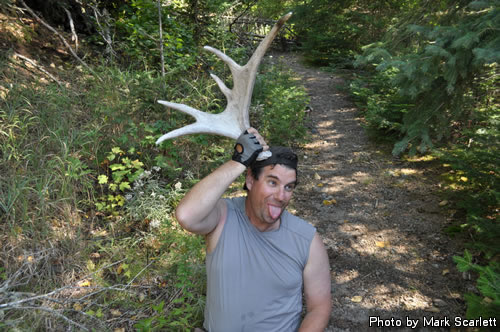
Markus and his half rack.
It was now approaching 2 PM and we were a little off course with what seemed like an overly ambitious plan to make it to McCraney Lake today. But, for the moment anyway, we had water we could canoe in and that’s what we did.
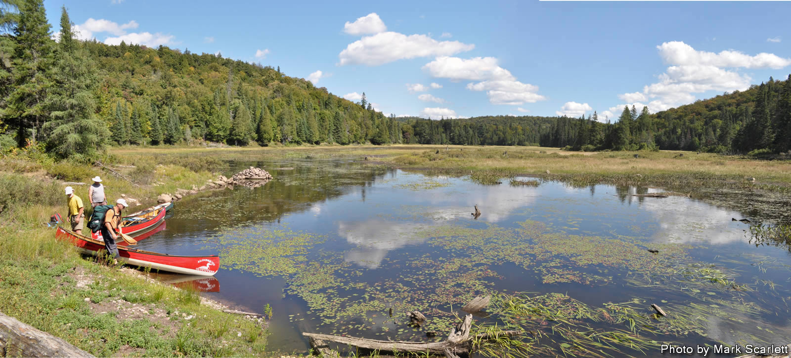
However, Lake seems a little bit too grandiose a name for Marion Lake. At least the section we pushed and pulled through with great concerns about having to get out and walk what appeared to be three inches of water over unknown depths of mud. With a great deal of sweating and swearing we managed to cross little Marion Lake and reach the dam at Mink Creek.
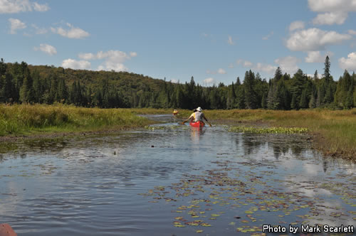
Paddling shallow Marion Lake.
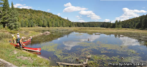
Marion Lake panorama.
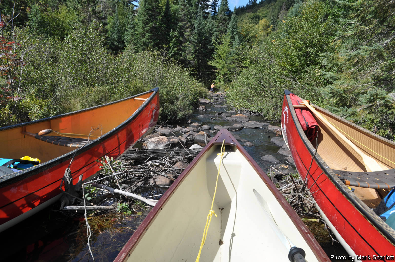
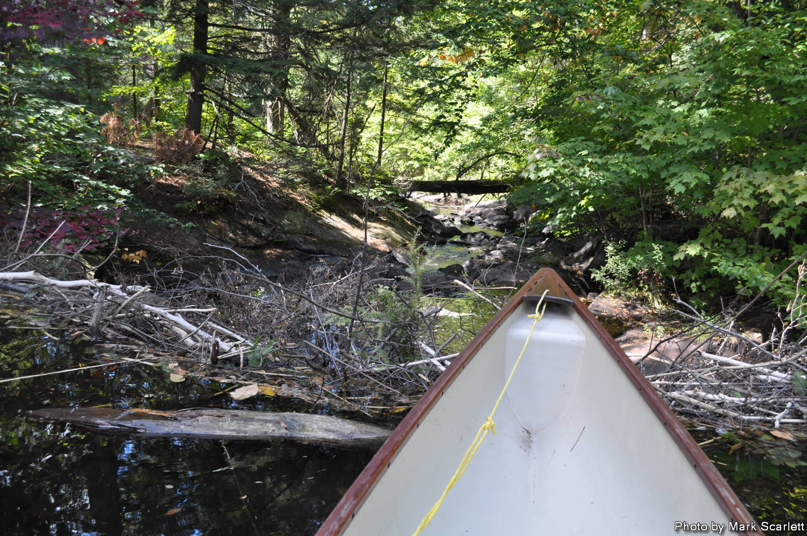
We made it to Mink Creek but it didn’t look like we would be going much further. I scouted the creek ahead hoping to find deep water.
Scouting a doubtful path down the creek.
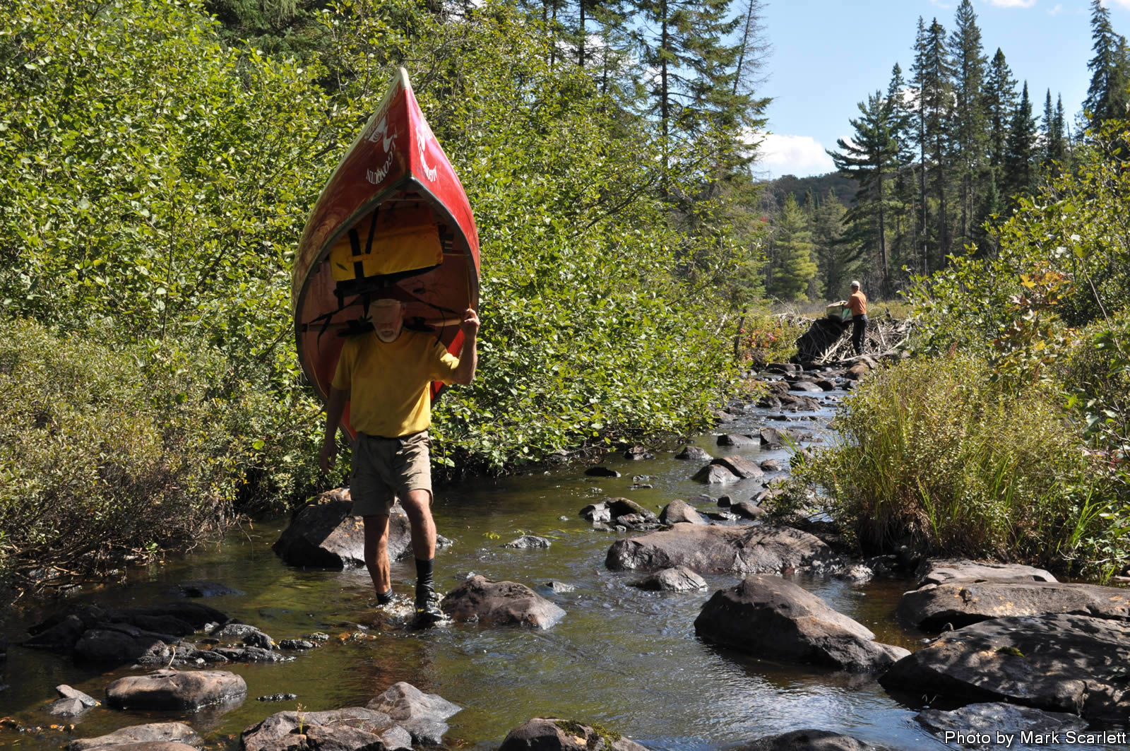
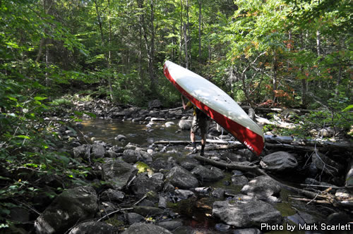
The decision was made, portage the creek bed 50 metres to a point where there was enough water (and room in-between the rocks) to float a canoe.
Pushing on, creek portage.
Tough guy portaging.
Creek walking seems to be a problem area for me, for the second time on a Meanest Link trip I “turtled”, falling backwards on my pack amongst the slimy creek rocks.

Ooops!
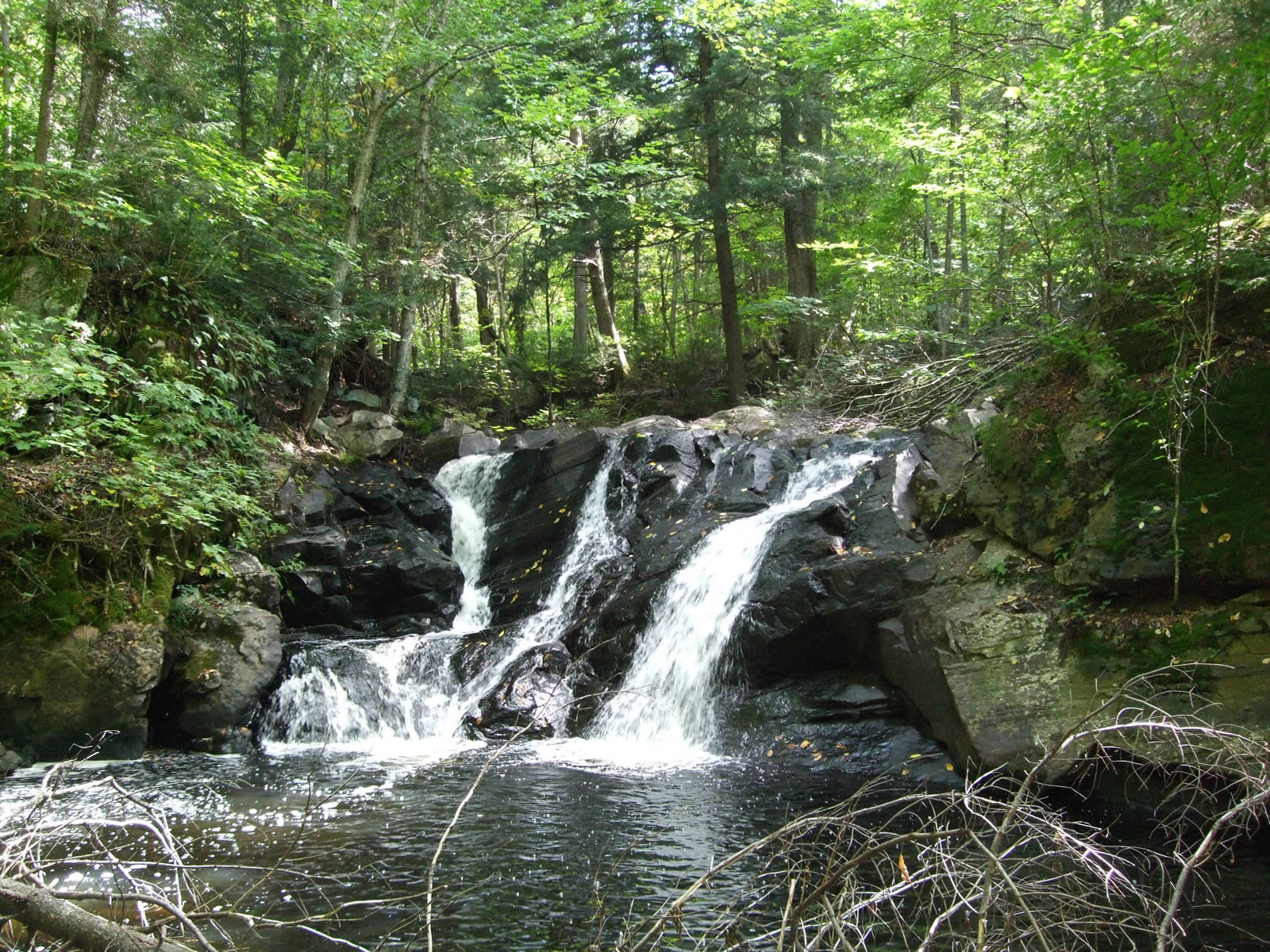
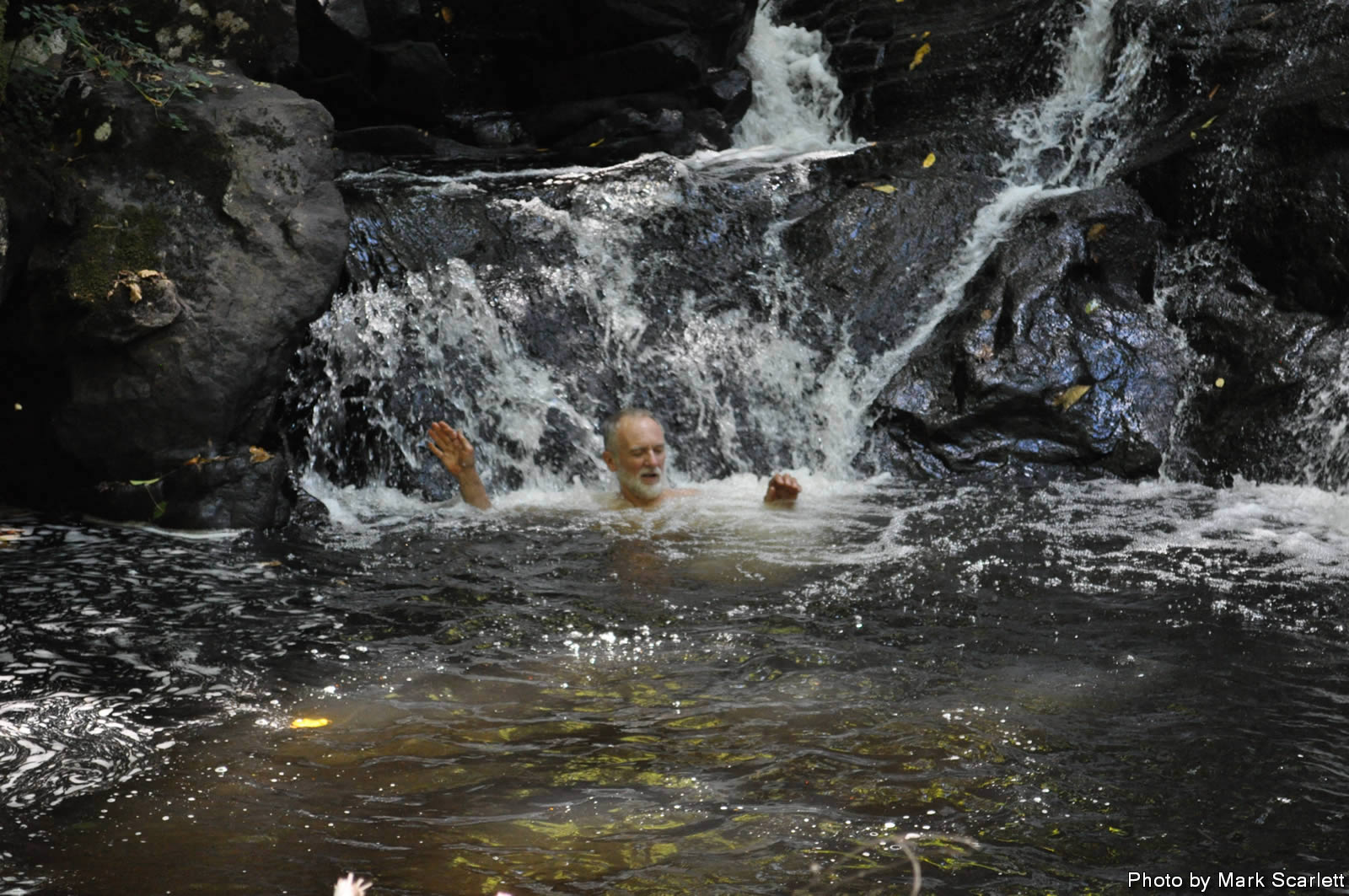
When we ran out of creek to travel we had to again bushwhack up to a logging road. If you haven’t noticed that was the theme for the day. I guess those thousands of kilometers of logging roads in Algonquin Park can come in handy once in a blue moon. This road was much more recent and we made good time along it with only a minor detour when we came across pleasant little Hoodlum Falls, as we called it, in honour of our ragtag crew and our Hood Lake destination. After a tough day in the heat we all ended up jumping in and cooling off, a nice little break. You’ve got to take time to relax now and then.
End of navigation on Mink Creek.
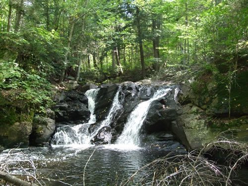
Newly named Hoodlum Falls.
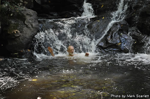
John plays in the waterfall.
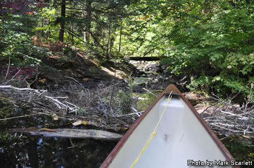
The downstream section after the falls was still too rocky to travel, but it was very picturesque.
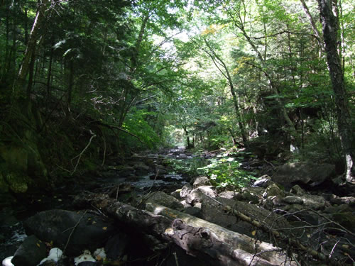
Downstream view of Mink Creek.
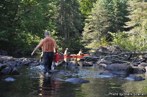
Pressing on feeling slightly refreshed we followed the road until we reached the Big East River at exactly the same spot we had camped the previous year. I think we all had feelings of déjà vu, tired, sweaty and exhausted déjà vu. We crossed the Big East and continued along what we call the Hood Lake road until we reached the shores of said lake. After a very brief discussion, all plans to carry on to McCraney Lake across our rediscovered portage were dropped and camp established. It was only 4 PM but we were wiped out from approximately 10 Km of travel, with just over 6 Km of it bushwhacking with canoe and gear.
John crossing the Big East River.
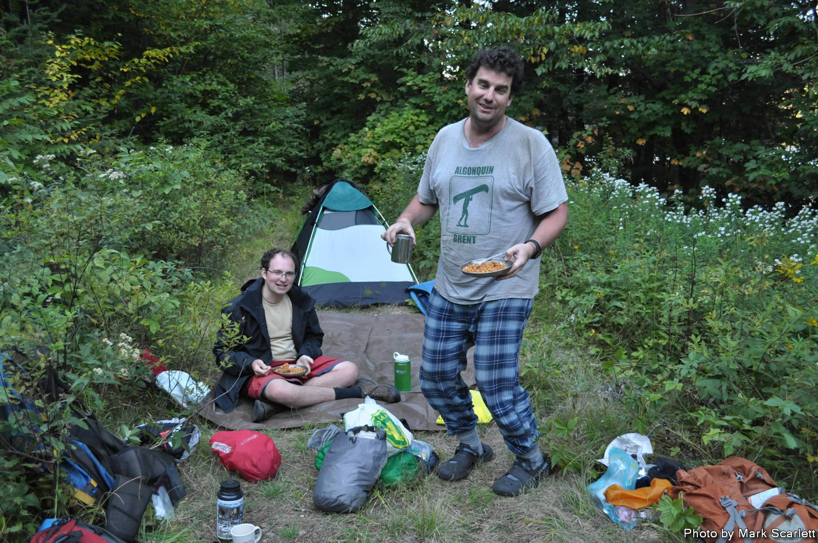
The good part of the day was that we still had booze left, we sat on the overgrown roadway and had a couple of cocktails and watched the many dragonflies catching bugs around us. Dinner was Sierra Chicken, it tasted quite good and the five of us ate what was apparently meant to be 12 portions. With darkness coming on the temperature started cooling quickly, we were all weary but managed to sit around sans fire and listen to John read a passage about trees and cabin building before heading off to find our sleeping bags.
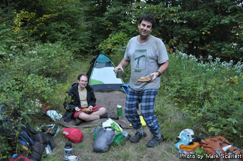
Tired Markus and Jeffrey.
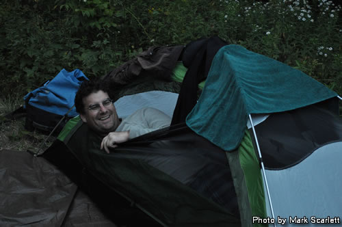
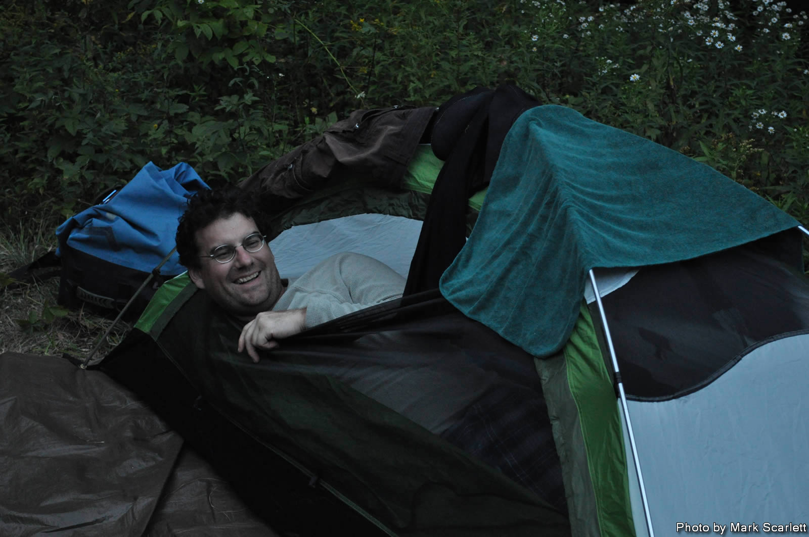
Markus calls it a day.

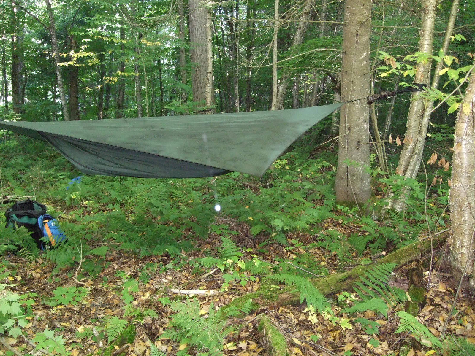
Hammock home for the night.
|